Drive from Myvatn to Djúpivogur.
Distance: 300 km
Time to drive: 4:30 h
Two or basically three option for this day drive. According to maps, the Detifoss and Selfoss can be reached from both sides, therefore it might make sense to get only to one spot and walk to the other instead of investing another hour to drive to Detifoss and Selfoss. Third option would be to get to both spots.
First map has only one stop via road 862
Second map with stop via road 864
Hike an path at Selfoss/Detifoss when taking the 864 route
Looks like that the first choice via road 862 is the better choice but need to verify that.
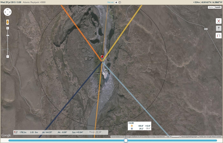
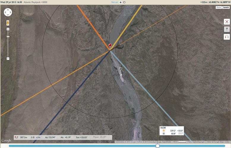
Anyway, at this location we should be as late as possible or maybe we switch around the days and do the Myvatn circle on Day 11 before leaving towards the next location and go with the the 2 falls on Day 10.
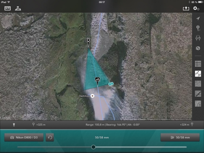
Dettifoss waterfall
Dettifoss is situated on the Jökulsá á Fjöllum river, which flows from the Vatnajökull glacier and collects water from a large area in Northeast Iceland. The falls are 100 m wide and have a drop of 45 m down to the Jökulsárgljúfur canyon. It is the largest waterfall in Iceland in terms of volume discharge.
Lens should be around 50mm, might use the 50mm Nikkor or the Voigtländer 58mm. The Sigma 24-105 might be another option.
Selfoss waterfall
A few hundred meters downstream of the Selfoss waterfall the Dettifoss waterfall is situated, the most powerful waterfall of Europe. The river originates as melt water from the glacier Vatnajökull and therefore the water flow varies depending on the season, the weather and volcanic activity. The river falls 44 m over a width of 100 m. Below the falls, the river passes through a gorge which is part of the Jökulsárgljúfur National Park.
Ásbyrgi
If we would follow the second option, Ásbyrgi is an optional visit on the way. Heven’t looked further into this spot.


Noch keine Kommentare